Lorem ipsum dolor sit amet, consectetur adipiscing elit, sed do eiusmod tempor incididunt ut labore et dolore magna aliqua. Ut enim ad minim veniam, quis nostrud exercitation ullamco laboris nisi ut aliquip ex ea commodo consequat. Duis aute irure dolor in reprehenderit in voluptate velit esse cillum dolore eu fugiat nulla pariatur. Excepteur sint occaecat cupidatat non proident, sunt in culpa qui officia deserunt mollit anim id est laborum.
Login to the Viosmart community
Don’t have an account?
Join the Viosmart community today
Forgotten your password?
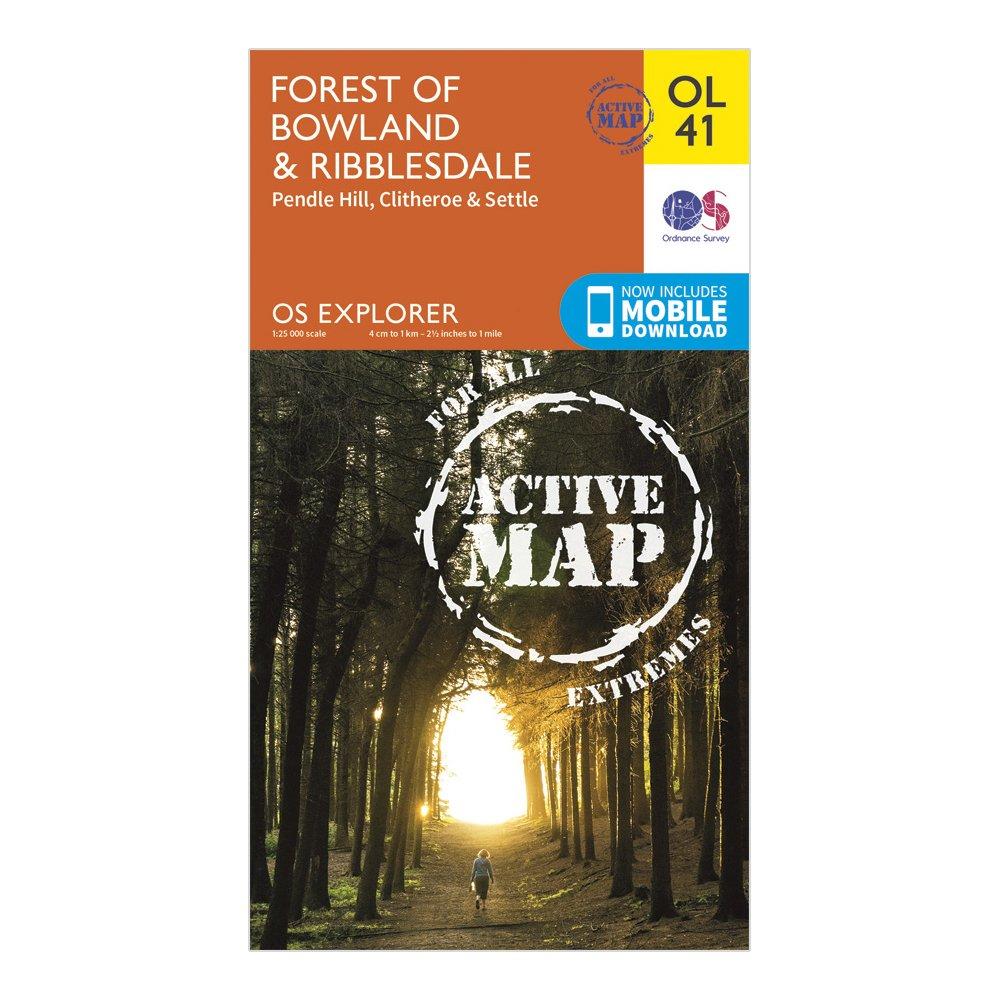
Explorer OL 41 Active D Forest of Bowland Map, Orange
Thank you for visiting Blacks

Explorer OL 41 Active D Forest of Bowland Map, Orange
No code required
If you have made a qualifying purchase, Viosmart will make a donation to the Box For Good Foundation
View Terms
| Colour | Orange |
|---|---|
| Size | One Size |
Description
FeaturesDetailed and easy to read map from Ordnance SurveyScale: 1:25,000Covers the Forest of Bowland, Yorkshire Dales National Park, Clitheroe, Settle, Lancaster, Ribble Way, Wyre Way, Lune Valley Ramble and Pendle WayIncludes mobile download of map for use on your smartphoneShows tourist information points, popular sites, viewpoints, places of information and rights of way informationRecommended activity - navigation
